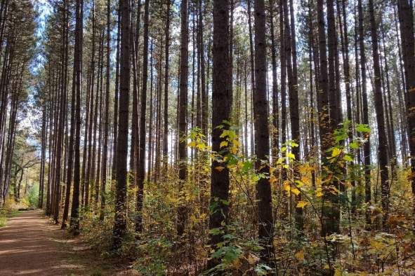
 Photo by @cassaundra06
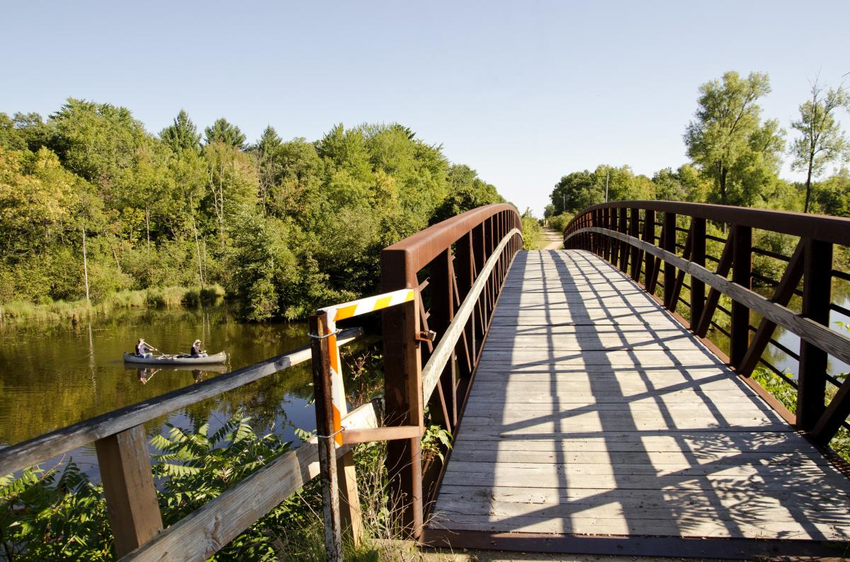
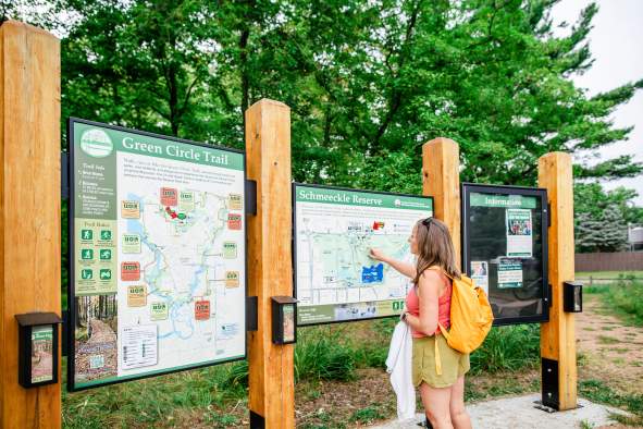
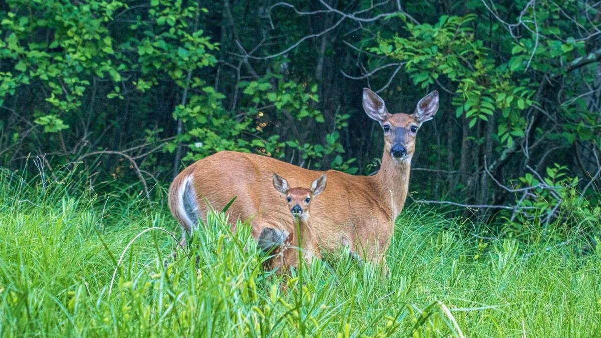 Photo by @joe_riederer on Instagram

Rainy day? That's not a problem. The Stevens Point Area still has a lot to offer on a rainy day…

Explore local shops, from antiques to specialty shops, throughout the Stevens Point Area.

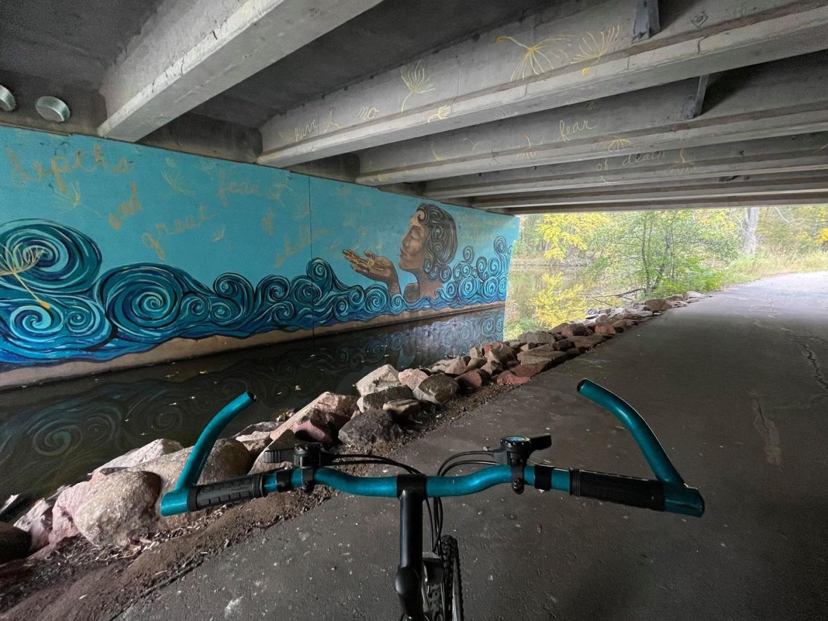
Don't miss these must-see murals in the Stevens Point Area. With unique pieces tucked in every…

It's officially 2026! To celebrate the turning of a new year, we have reviewed some of the best events that happen annually in the Stevens Point…

Looking for a great place to enjoy live music in the Stevens Point Area? Find some great spots, so…

Summertime in Wisconsin is magical. Cruising the lakes and rivers, dining al-fresco, green…

What makes a great meal even better? Dining al fresco! Enjoy dining on and off the water with the best patios in the Stevens Point Area. Visit them…

Taste the best beer in the Stevens Point Area with this curated guide! We asked, and…

Want to try the best fish fry in the Stevens Point Area? We asked, and you delivered! We set…

Breakfast or lunch? Why not both! Read ahead for the must-try brunch locations in the Stevens Point…

Looking for the perfect getaway in the Stevens Point Area? Whether you're planning a family trip, a relaxing retreat, or a weekend of adventure…

Looking for a place to stay nearby the Green Circle Trail? We have compiled a guide with all…

Looking for the best hotel for your stay in the Stevens Point Area? Look no further as we…

Looking for a place to stay in the Stevens Point Area with waterfront views? We've made a…

Looking for the best outdoor recreation gear rental spots? From kayaks and canoes, to bikes and backpacking gear, the Stevens Point Area has a large…

Whether you're looking to get outside or get a taste of local flavor, the Stevens Point Area is the…

Order our free Visitors Guide today to uncover the best places in the Stevens Point Area to get…
Get your free Visitors Guide and Travel Planner today!Order Guide
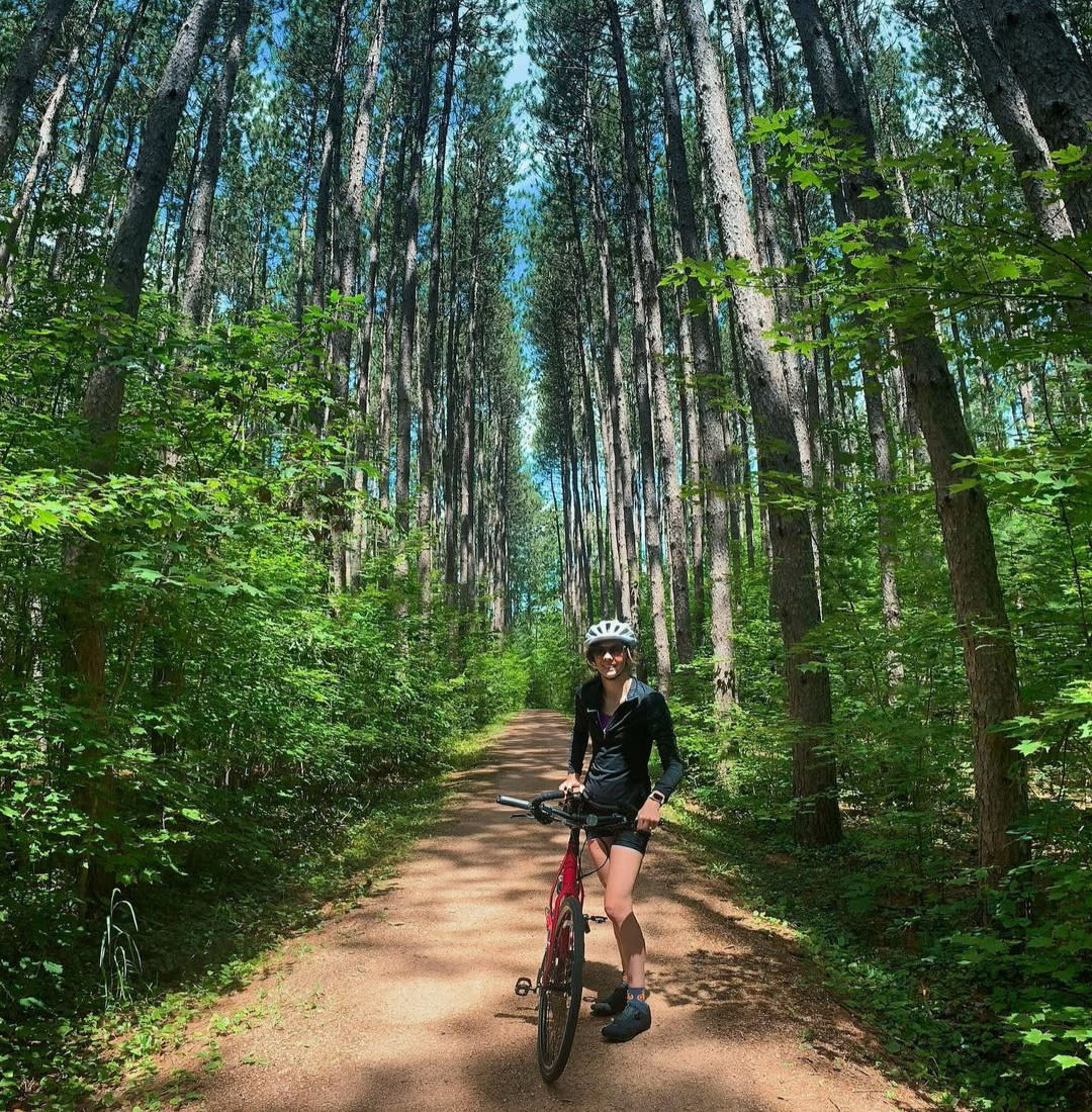
 Photo by @cassaundra06
Photo by @joe_riederer on Instagram