Trail Maps
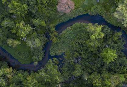
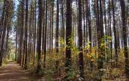
Explore the best views in the county on foot or by bike and follow the many trails throughout the Stevens Point Area. Whether you are an avid trail user, or a family just looking for a nice way to spend a few hours, you'll enjoy your time spent on the various trail systems in the Stevens Point Area. Trails in the Stevens Point Area offer a wide variety of scenic views, wildlife and terrain. Many of the trails link the urban and rural areas as well as offer connections to one another, through a series of hubs and extensions.
Explore the region’s trails with a map:
View the Stevens Point Area ‘Pedal, Paddle, Hike Guide’ or (order one here).
View maps for Portage County Parks here.
View the map for Schmeeckle Reserve here (on the University of Wisconsin Stevens Point campus)
View the map for the Green Circle Trail here.
View the maps for the George Mead Wildlife Area here.
Not sure where to start?
-
For the novice, try the variety of trails at the Schmeeckle Reserve, which is linked to the Green Circle Trail. The Green Circle Trail offers connections to the Stevens Point Sculpture Park trail and the Tomorrow River State Trail.
-
For a more rural route, explore the Ice Age Trail, George Mead Wildlife Area or Standing Rocks County Park. Many of the trails offer multiple uses throughout the year, including hiking, biking, cross-country skiing or snowshoeing.
-
Like blazing new trails? Learn more about the trails available in the Stevens Point Area.
Local Flavor in the Stevens Point Area
Explore the Central Wisconsin Craft Collective
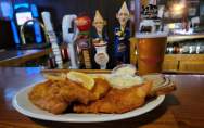
Explore the local food movement, classic Wisconsin supper clubs and everything in between to find…
Explore your creative side
Feeling artistic? Get inspired by the work of local artists, take an art class or attend a…
Follow your fork
Explore the local food movement, classic Wisconsin supper clubs and everything in between to find…
