Plan a trip on the water with our Paddle Guide, exploring the best spots to canoe and kayak in the Stevens Point Area. This time we're featuring McDill Pond, part of the Plover River flowage. In each guide, you'll find details on what to expect, where to put-in and take-out, along with mileage and estimated time. All that's left to do is head out!
Paddle Guide: McDill Pond
By Timothy Bauer of MilesPaddled.com
TRIP DETAILS
McDill Pond is a slow flowage created by the Business 51 dam. While the “pond” is predominated by development along its shores, there are some salient features that would attract paddlers, such as the Erickson Audubon Wildlife Area, sporadic osprey, and cliff swallow nests, the Green Circle Trail, and Spring Slough.
Skill Level: Beginner
Class Difficulty: Quiet water
Put-In/Take-Out: 3499 Heffron St., Stevens Point, WI 54481
Time Needed: 2-3 hours
Miles Paddled: 2-5 miles
Wildlife: Turtles, bluebirds, osprey, fish.
Trip Description
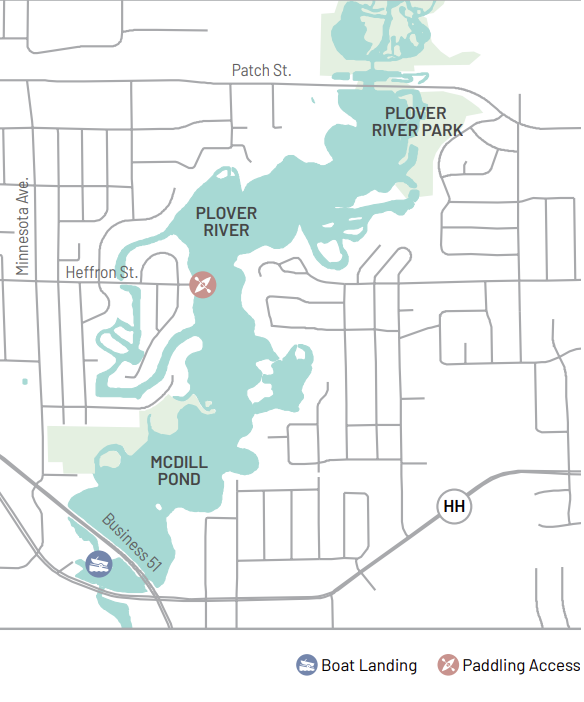
Two boat landings are available; Business 51 adjacent to the bridge and the end of Heffron St. Put-in points are also available at Kozcizkowski Park. If going under the bridge, look for many cliff swallow nests. Kozcizkowski Park has a swim beach and hiking trails, follow around the island next to the beach to observe the turtles.
Adjacent to the park is the Godfrey and Maybelle Erickson Audubon Wildlife area with many bluebird nesting boxes. The power lines crossing McDill in the middle have Osprey nests on top; binoculars allow you to see nestlings in early spring. On the east shore of the power lines is a small opening to Spring Slough which contains the most aquatic plant diversity in the county and is home to a DNR weevil study. On the west shore of the power poles is Oriole Island. Both sides are good stops for wildlife observations.
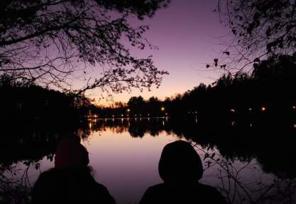
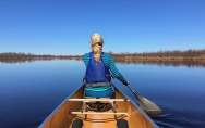
 Photo Credit: @breathe.hard
Further north on the west shore are the openings to the North and South Channel. The channels continue through the culvert going under the road, canoes or kayaks will fit through the culvert. On the North side of McDill, as it bends around the curve, there are more small channels on the south side including a circle around a spooky island, and an old abandoned shack. On the northernmost stretch of McDill before Patch St the water deepens in the middle to 16’ due to a sand trap dredge, and on the sides are shallow flats used for spawning that are frequented by a variety of birds and have a variety of plant diversity. Allow 2-3 hours for this trip. McDill offers flat water paddling but can become choppy on the main body during windy days.
CAUTION: Stay away from the dam by the Business 51 landing, do not go near it.Want more?
Find more fun on the water in the Stevens Point Area - from paddling to swimming and fishing to boating - and learn more about MilesPaddled. Then, plan your own trip in the Stevens Point Area with the Pedal, Paddle & Hike Guide (view online), or order a copy by mail.
