


Trip Description
This popular trip (and the last section of moving water) begins and ends at quaint public parks. Along those two points paddlers will encounter virtually no signs of civilization until the end of the trip, instead being treated to a dazzling juxtaposition of pine trees, steep sand banks, and swampy bottomlands. An obstacle course of downed trees to maneuver around, under, or over in a steady current will pose the only hazards, making this trip more suitable for experienced paddlers. Check water levels with local outfitters to make sure the river isn’t too high, which could pose problems with the tree obstructions. In springtime the banks are awash in a lush green of adorable (and edible) fiddlehead ferns.
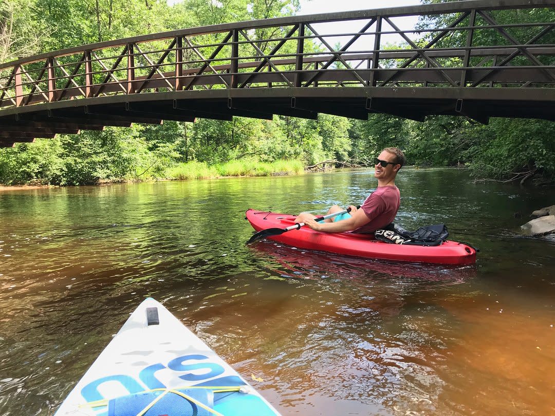 Photo Credit: @nature_guuurl
As a shuttle route, park one car in Iverson Park off Highway 66 in Stevens Point. Then travel Highway 66 east to Jordan Park. Begin this route at the canoe ramp on the south side of Hwy 66 in Jordan Park (a handicap-accessible dock is available). The route will meander through generally flat water and is an excellent trip for bird watchers in June and July. Because of the wooded landscapes on either side of the river, it is an excellent way to view fall colors in the area. Once you have reached Iverson Park, enjoy a dip in the water near the swimming beach, or walk on a short segment on the Green Circle Trail that makes its way through the park.
Want More?
Find more fun on the water in the Stevens Point Area - from paddling to swimming and fishing to boating - and learn more about MilesPaddled. Then, plan your own trip in the Stevens Point Area with the Pedal, Paddle & Hike Guide (view online), or order a copy by mail.

